4819
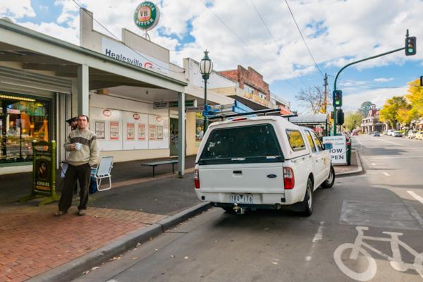
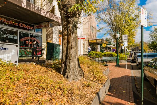
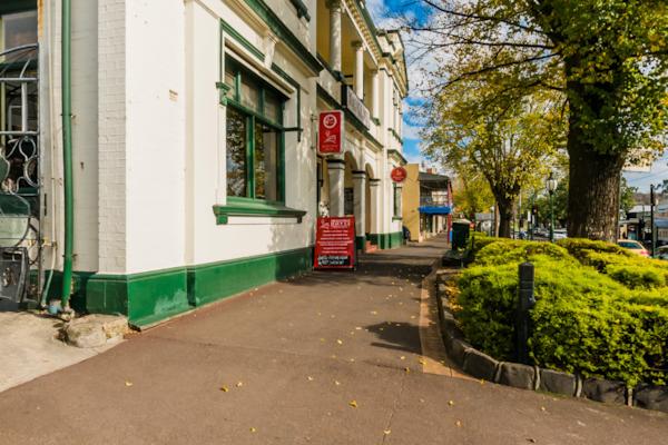
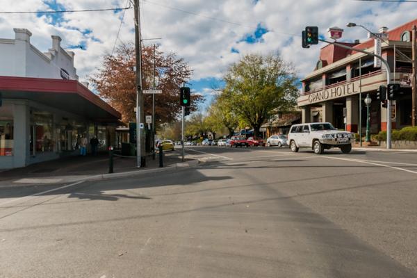
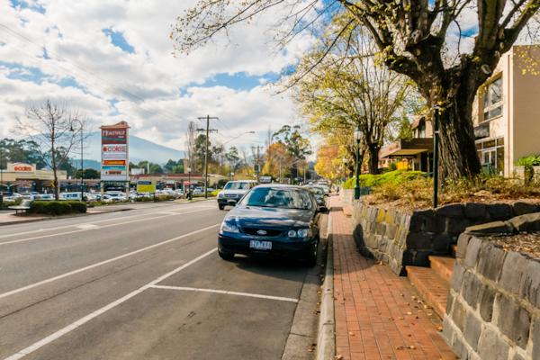
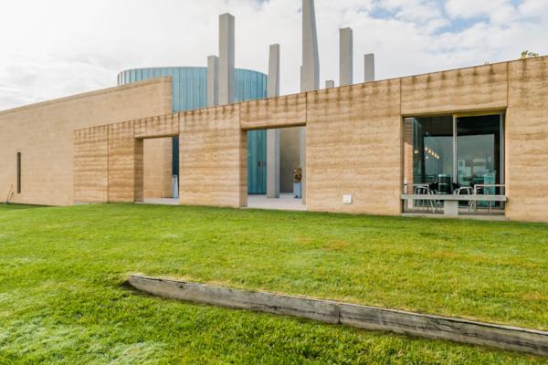
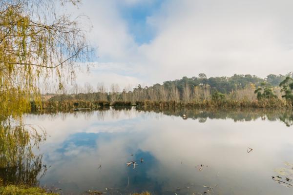
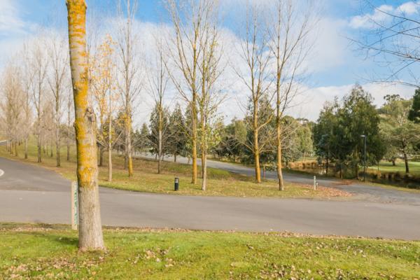
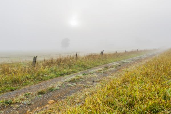
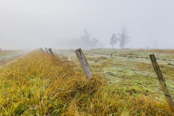
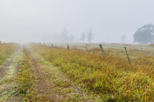
Healesville
by Rodrick Bond taken on 22nd May 2008
Healesville, Healesville, Victoria, Australia
Shot Details
- Photographer
Rodrick Bond - Date Shot
22nd May, 2008 at 12:49pm - Camera Nikon D300
- Lens '10.5 mm
- Shutter Speed 1/250 sec
- Aperture f/10
- ISO 200
Location Details
- Latitude -37.65433300
- Longitude 145.51466700
- Altitude 99m / 325ft
- Street 226A Maroondah Highway
- Suburb Healesville
- State Victoria
- Country Australia
- Postcode 3777
- Satellites 7
Other Details
- ID 4819
- Ranking 50/100
- Status Pending
- Last updated 27th October, 2015 at 5:09pm
Nearby Locations
Healesville
Healesville
Healesville
Healesville
Healesville
Long Gully Winery
Long Gully Winery
Long Gully Winery
Tarrawarra Estate
Tarrawarra Estate
Tarrawarra Estate
Tarrawarra Estate
Tarrawarra Estate
Tarrawarra Estate
Tarrawarra Estate
Long Gully Rd.
Long Gully Rd.
Long Gully Rd.
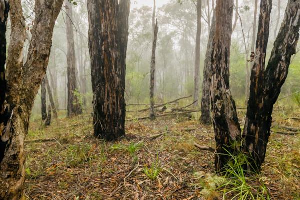
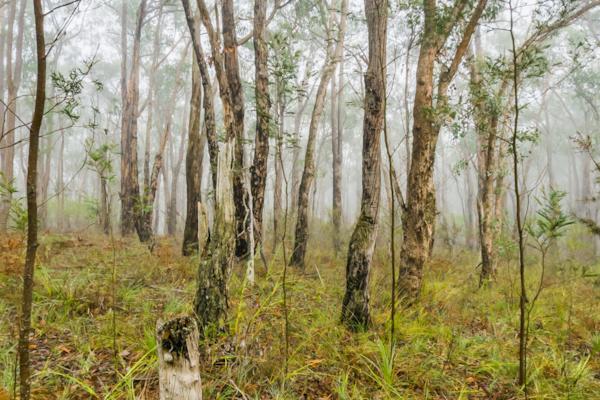
Chum Creek Forest
Chum Creek Forest
Popular Panoramas
Beachport 3
Parap Markets 1
The Cow, Queenstown
Heron Bommie 0
Tropicana Las Vegas
Wilson Island
Kings Canyon Lost City
Barrow Creek
Champ de Mars
Shibuya Station 2
Noosa Beach 2
Port Of Airlie
Kata Tjuta, Walpa Gorge 1
Brachina Gorge, Flinders Ranges 2
Yeppoon
Darling Harbour 2
Mickey's Creek
Uluru Mutitjulu Waterhole
Rainbow Bay Sunset
Fireworks


