4830
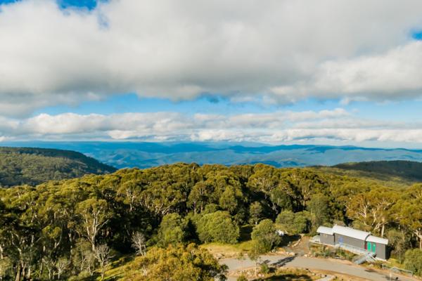
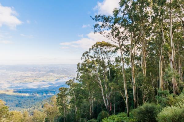
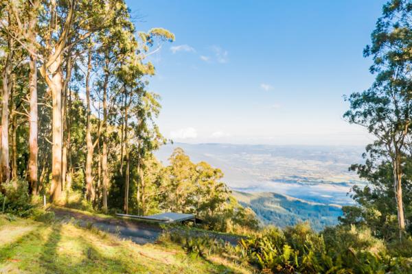
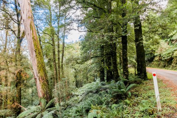
Mt. Donna Buang
by Rodrick Bond taken on 22nd May 2008
Mt. Donna Buang, Warburton, Victoria, Australia
Shot Details
- Photographer
Rodrick Bond - Date Shot
22nd May, 2008 at 3:13pm - Camera Nikon D300
- Lens '10.5 mm
- Shutter Speed 1/100 sec
- Aperture f/10
- ISO 200
Location Details
- Latitude -37.70666700
- Longitude 145.68133300
- Altitude 1261m / 4136ft
- Street Mount Donna Buang Summit Road
- Suburb Warburton
- State Victoria
- Country Australia
- Postcode 3799
- Satellites 9
Other Details
- ID 4830
- Ranking 50/100
- Status Pending
- Last updated 27th October, 2015 at 5:10pm
Nearby Locations
Mt. Donna Buang
Glider ramp, Mt. Donna Buang
Mt. Donna Buang
Cement Creek
Cement Creek
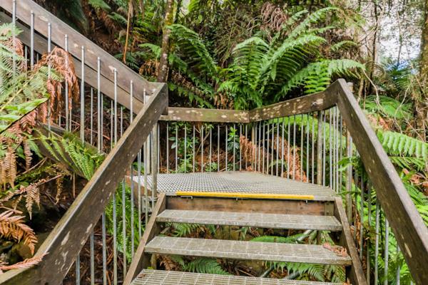
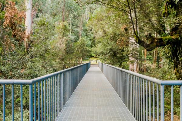
Mt. Donna Buang Rainforest Walkway
Mt. Donna Buang Rainforest Walkway
Mt. Donna Buang Rainforest Walkway
Mt. Donna Buang Skywalk
Mt. Donna Buang Rainforest Walkway
Mt. Donna Buang Rainforest Walkway
Mt. Donna Buang Rainforest Walkway
Donna Buang Rd.
Upper Yarra River, Warburton
Upper Yarra River, Warburton
Upper Yarra River, Warburton
Warburton
Upper Yarra River, Warburton
Upper Yarra River, Warburton
Warburton


Popular Panoramas
Darling Harbour 8
Eaglehawk Neck
Whitehaven Beach
Boeing KB-50J Superfortress
Bathing Boxes 0
237 North Tce
Shibuya 2
Yeppoon
Spirit of Tasmania 3
Brachina Gorge, Flinders Ranges 2
East Restaurant
Kata Tjuta Sunset Viewing
Qantas Founders Museum 0
Palmela 2011 0
Moss Garden
Darling Harbour
Broken Hill, Town Square
Hamilton Island
Robe 5
Cradle Mountain 0


