4841
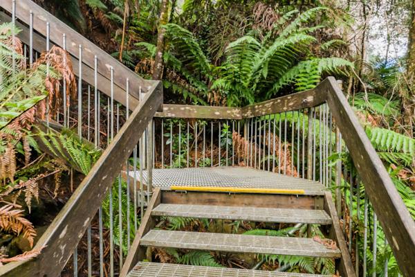
Warburton
by Rodrick Bond taken on 22nd May 2008
Warburton, Warburton, Victoria, Australia
Shot Details
- Photographer
Rodrick Bond - Date Shot
22nd May, 2008 at 4:29pm - Camera Nikon D300
- Lens '10.5 mm
- Shutter Speed 1/100 sec
- Aperture f/10
- ISO 200
Location Details
- Latitude -37.75300000
- Longitude 145.69800000
- Altitude 167m / 548ft
- Street 3475 Warburton Highway
- Suburb Warburton
- State Victoria
- Country Australia
- Postcode 3799
- Satellites 7
Other Details
- ID 4841
- Ranking 50/100
- Status Pending
- Last updated 27th October, 2015 at 5:10pm
Nearby Locations
Warburton
Upper Yarra River, Warburton
Warburton
Upper Yarra River, Warburton
Warburton
Warburton
Warburton
Warburton
Upper Yarra River, Warburton
Warburton
Upper Yarra River, Warburton
Upper Yarra River, Warburton
Mt. Donna Buang Rainforest Walkway
Cement Creek
Cement Creek
Mt. Donna Buang Rainforest Walkway
Mt. Donna Buang Rainforest Walkway
Mt. Donna Buang Rainforest Walkway
Mt. Donna Buang Rainforest Walkway
Mt. Donna Buang Rainforest Walkway


Popular Panoramas
Jena Bridge
Telegraph Station 3
Great Ocean Road 3
Shibuya Station 6
F111 Flyover
Burnett Heads
Dismal Swamp 17
Southport Channel 0
Wilson Island
Gold Coast City Marina
Sydney Opera House 0
Sydney Harbour Bridge 11
Cairns Lagoon 0
Bond University
Yeppoon
Kata Tjuta Sunset Viewing
1770
Spirit of Tasmania 3
Piha Beach 0
Daydream Island


