5926
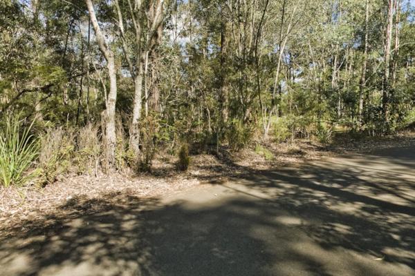
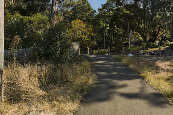
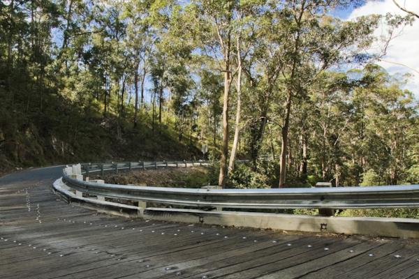
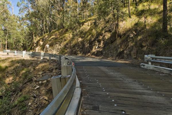
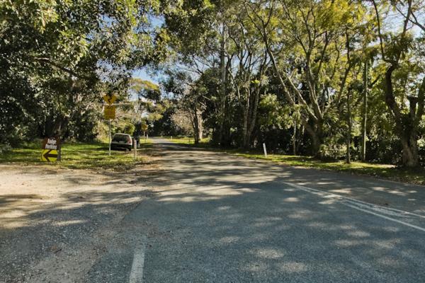
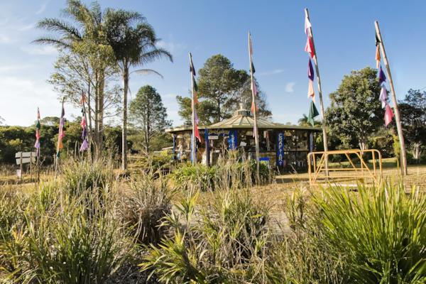
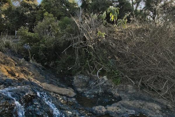
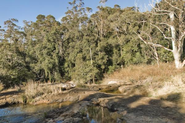
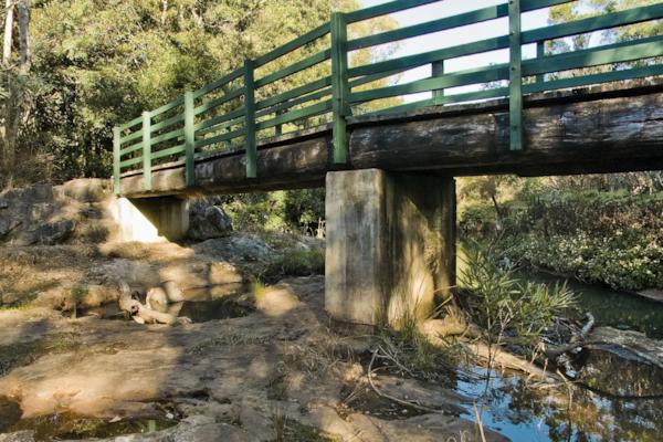
Gold Coast Hinterland
by Dean Herring taken on 20th August 2008
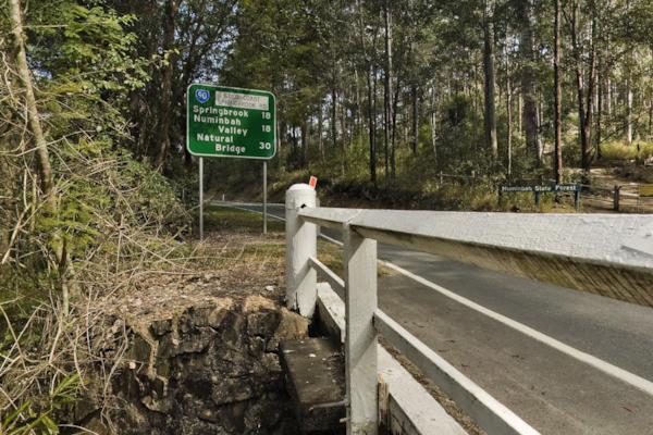
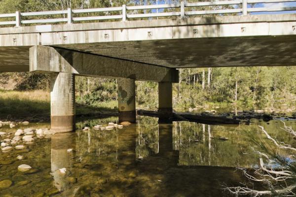
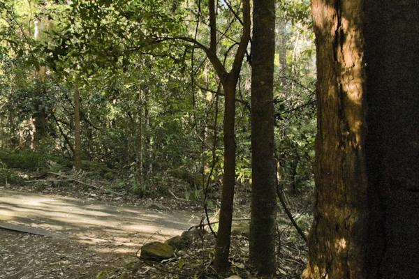
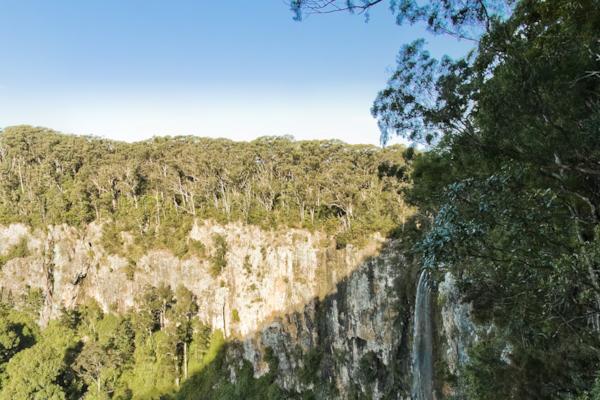
Gold Coast Hinterland, Numinbah Valley, Queensland, Australia
Shot Details
- Photographer
Dean Herring - Date Shot
20th August, 2008 at 4:23pm - Camera Nikon D200
- Lens '10.5 mm
- Shutter Speed 1/125 sec
- Aperture f/8
- ISO 100
Location Details
- Latitude -28.13833300
- Longitude 153.22366700
- Altitude 126m / 413ft
- Street 2136 Nerang-Murwillumbah Road Rd
- Suburb Numinbah Valley
- State Queensland
- Country Australia
- Postcode 4211
- Satellites 7
Other Details
- ID 5926
- Ranking 60/100
- Status Pending
- Last updated 27th October, 2015 at 4:09pm
Nearby Locations
Gold Coast Hinterland 2
Numinbah Valley Environmental Centre
Pine Creek Bridge
Pine Creek Road
Springbrook Road 2
Springbrook Road
Gold Coast-Springbrook Rd 3
Gold Coast-Springbrook Rd 4
Cnr Springbrook & Lyrebird Ridge Rds
Gold Coast-Springbrook Rd 2
Gold Coast-Springbrook Rd
Purling Brook Falls Lookout
Purling Brook Falls Lookout 2
Gwongorella Pde
Purling Brook Falls Lookout 4
Purling Brook Falls Lookout 3
Gold Coast Hinterland 3
Purling Brook
Purling Brook 3
Purling Brook 2

Popular Panoramas
Cairns Lagoon 0
New York 0
Christ of the Abyss
The Gap Park 3
Hill Inlet Lookout 0
Luna Park 7
Kings Canyon Creek
Mon Repos
Coral Sea Resort
Simpsons Gap 1
Canarvon Gorge
Bathing Boxes 0
Lake McKenzie 5
Sydney Harbour Bridge 11
The Cow, Queenstown
Noosa National Park 32
Boeing KB-50J Superfortress
Daydream Island
Lombard St 6
Kings Canyon View


