4820
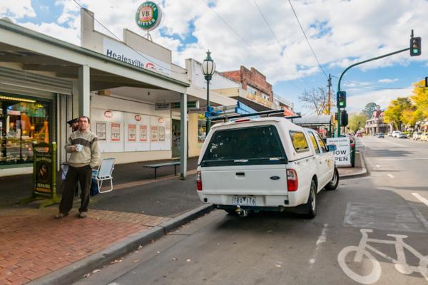
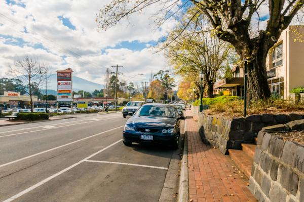
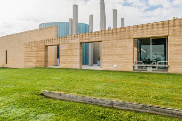
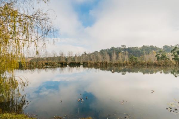
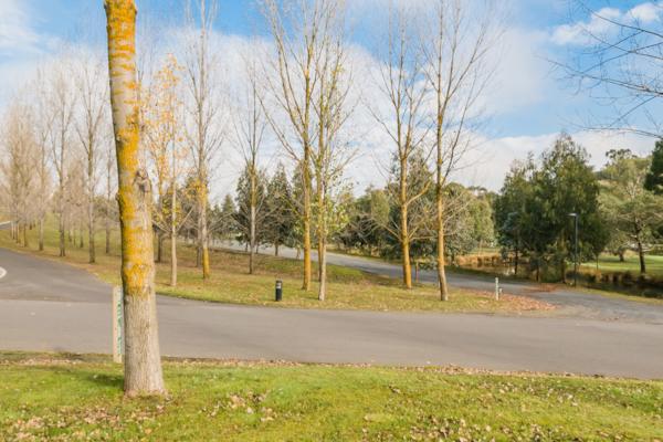
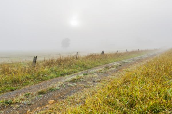
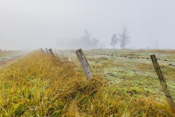
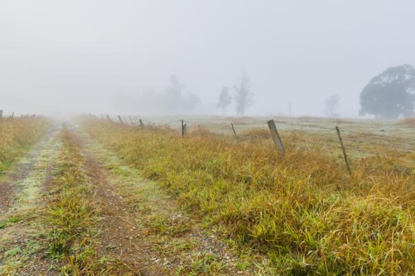
Healesville
by Rodrick Bond taken on 22nd May 2008
Healesville, Healesville, Victoria, Australia
Shot Details
- Photographer
Rodrick Bond - Date Shot
22nd May, 2008 at 12:51pm - Camera Nikon D300
- Lens '10.5 mm
- Shutter Speed 1/400 sec
- Aperture f/10
- ISO 200
Location Details
- Latitude -37.65433300
- Longitude 145.51550000
- Altitude 105m / 344ft
- Street 248 Maroondah Highway
- Suburb Healesville
- State Victoria
- Country Australia
- Postcode 3777
- Satellites 7
Other Details
- ID 4820
- Ranking 50/100
- Status Pending
- Last updated 27th October, 2015 at 5:10pm
Nearby Locations
Healesville
Healesville
Healesville
Healesville
Healesville
Long Gully Winery
Long Gully Winery
Long Gully Winery
Tarrawarra Estate
Tarrawarra Estate
Tarrawarra Estate
Tarrawarra Estate
Tarrawarra Estate
Tarrawarra Estate
Tarrawarra Estate
Long Gully Rd.
Long Gully Rd.
Long Gully Rd.
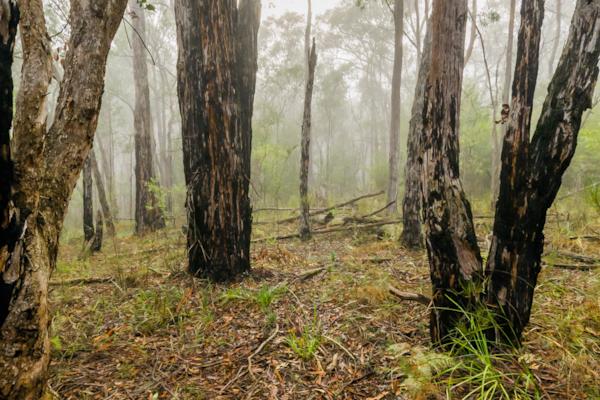
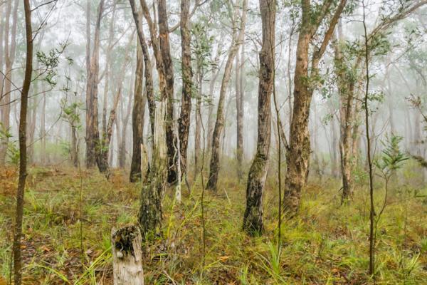
Chum Creek Forest
Chum Creek Forest
Popular Panoramas
Mt Kosciuszko - The Top
Lake McKenzie...Paradise 0
Kata Tjuta, Walpa Gorge 1
Telegraph Station 3
Sydney Beaches 19
Garden of Eden, Kings Canyon 0
Bond University
Luna Park 5
Russell Falls 0
Canberra Dawn 0
Southport Channel 0
Bryce NP 2
12 Apostles
Kings Canyon Creek Walk 1
One Tree Hill Hamilton Island
Hill Inlet Lookout 0
Darling Harbour 8
Stanley View
Matthew Flinders Bollard
New York 0


