4849
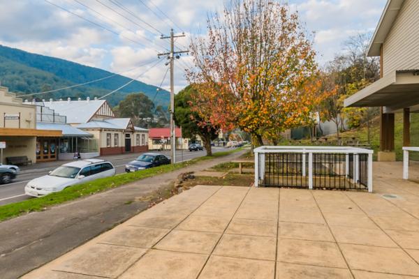
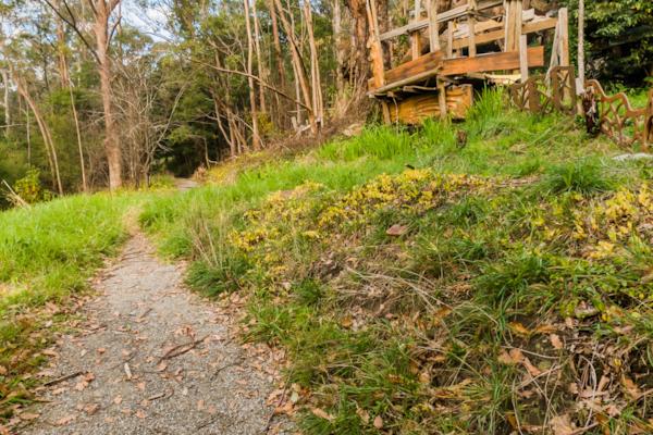
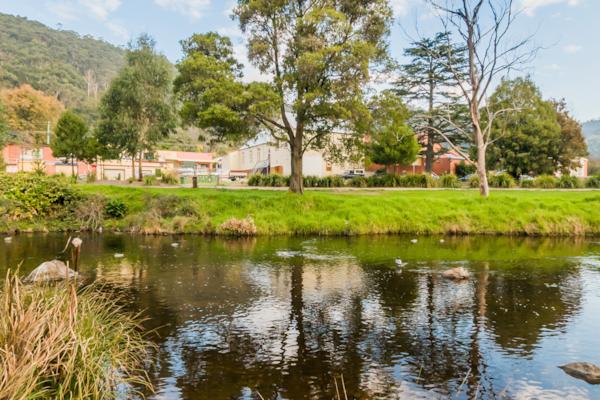
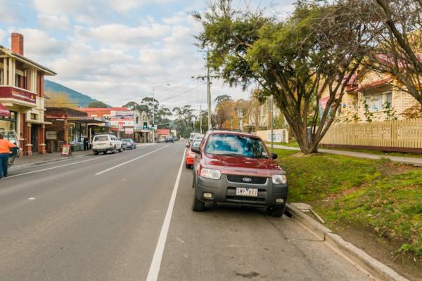
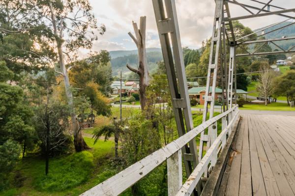
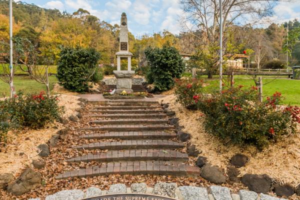
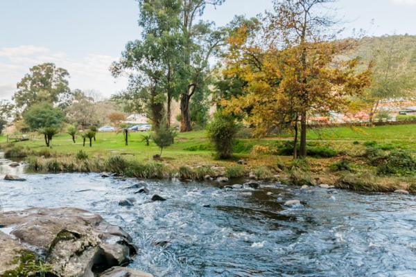
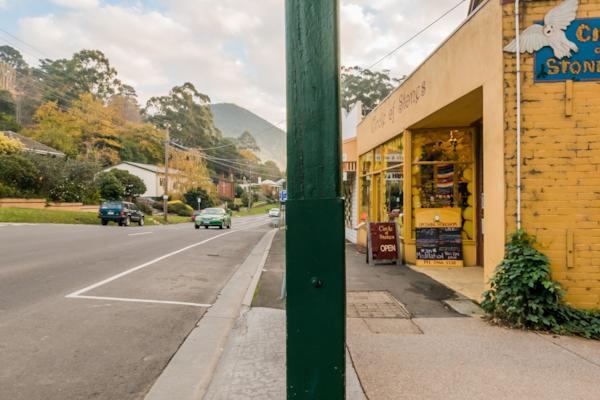
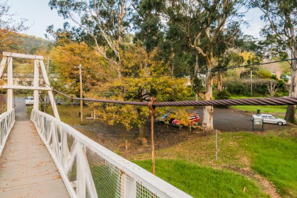
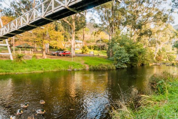
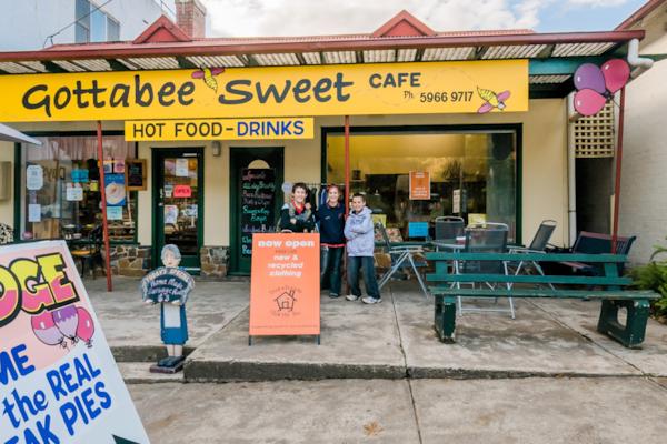
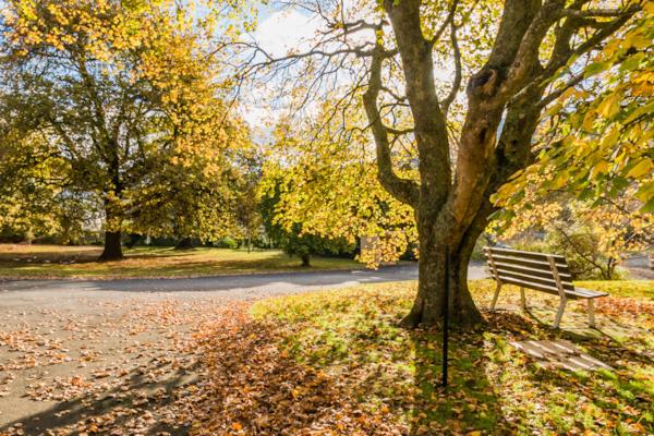
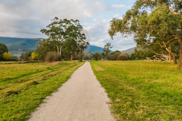
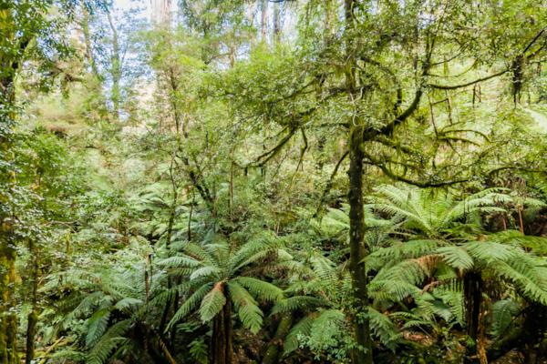
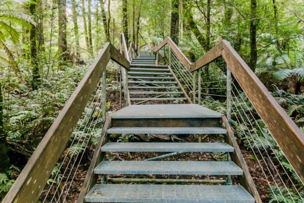
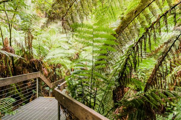
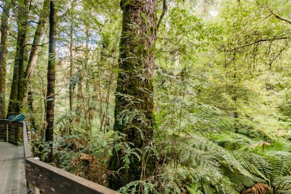
Warburton
by Rodrick Bond taken on 22nd May 2008
Warburton, Warburton, Victoria, Australia
Shot Details
- Photographer
Rodrick Bond - Date Shot
22nd May, 2008 at 5:17pm - Camera Nikon D300
- Lens '10.5 mm
- Shutter Speed 1/60 sec
- Aperture f/10
- ISO 200
Location Details
- Latitude -37.75350000
- Longitude 145.68983300
- Altitude 178m / 584ft
- Street 3416 Warburton Highway
- Suburb Warburton
- State Victoria
- Country Australia
- Postcode 3799
- Satellites 6
Other Details
- ID 4849
- Ranking 50/100
- Status Pending
- Last updated 27th October, 2015 at 5:11pm
Nearby Locations
Warburton
Warburton
Upper Yarra River, Warburton
Warburton
Upper Yarra River, Warburton
Warburton
Upper Yarra River, Warburton
Warburton
Upper Yarra River, Warburton
Upper Yarra River, Warburton
Warburton
Warburton
Yarra Junction
Cement Creek
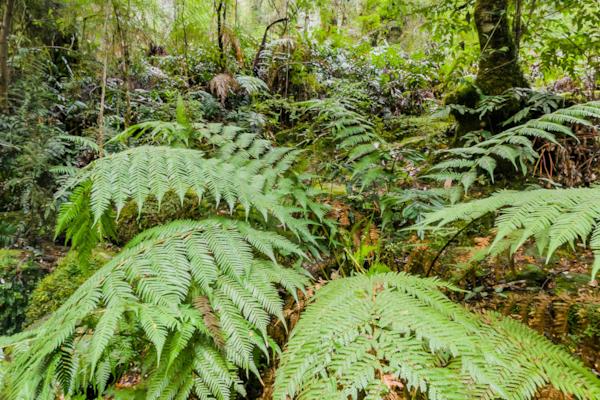
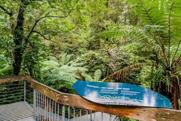
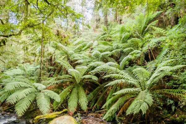
Mt. Donna Buang Rainforest Walkway
Cement Creek
Mt. Donna Buang Rainforest Walkway
Mt. Donna Buang Rainforest Walkway
Mt. Donna Buang Rainforest Walkway
Mt. Donna Buang Rainforest Walkway
Popular Panoramas
Long Island
Yeppoon
Cairns Foreshore 40
Anzac Hill, Alice Springs
Yeppoon
Bargara Beach
Heron Bommie 0
Bond University
Rainbow Valley 3
Coral Sea Resort
44 Martin Place
Mt Kosciuszko - The Top
Sydney Beaches 19
Mackay Marina 20
Parap Markets 1
Ship Under the Bridge
Great Keppel Island
Karuah
Road into Queenstown
Barrow Creek

