8328
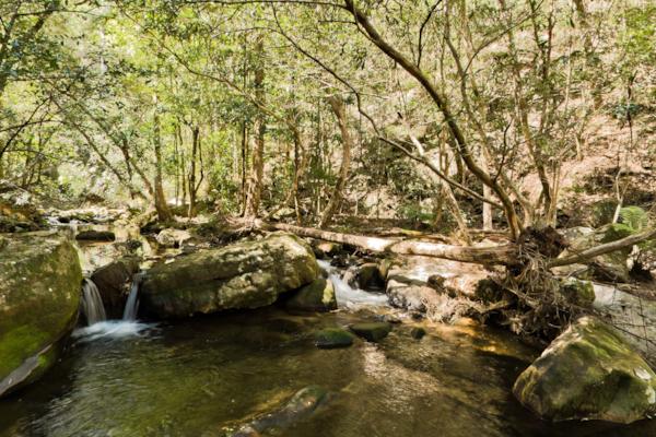
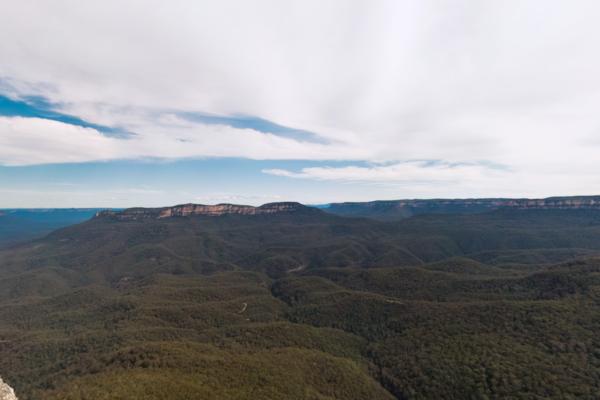
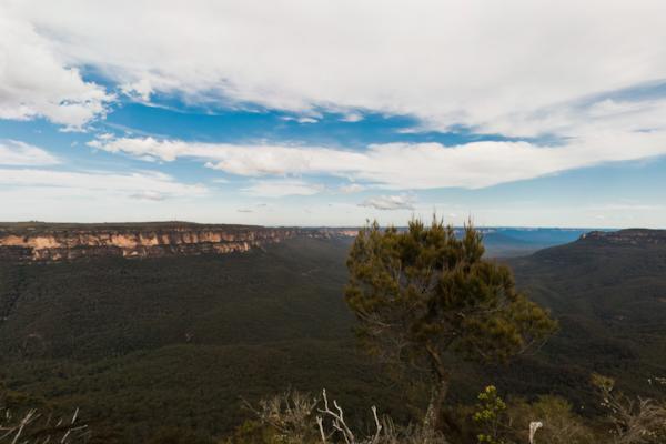
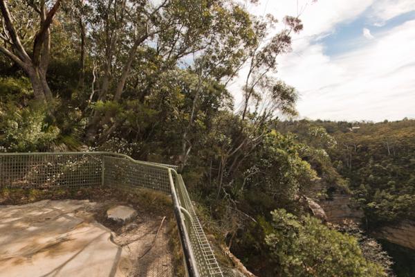
GBMWHE Jamison Creek
by Aaron Spence taken on 16th September 2010
GBMWHE Jamison Creek, Kings Tableland, New South Wales, Australia
Shot Details
- Photographer
Aaron Spence - Date Shot
16th September, 2010 at 1:01pm - Camera Nikon D700
- Lens '16.0 mm
- Shutter Speed 1/400 sec
- Aperture f/8
- ISO 200
Location Details
- Latitude -33.76483300
- Longitude 150.35200000
- Altitude 216m / 708ft
- Street Kedumba Valley Road
- Suburb Kings Tableland
- State New South Wales
- Country Australia
- Postcode 2782
- Satellites 7
Other Details
- ID 8328
- Ranking 42/100
- Status Pending
- Last updated 9th November, 2015 at 5:54pm
Nearby Locations
GBMWHE Jamison Creek
GBMWHE Jamison Valley
GBMWHE Kedumba Valley
GBMWHE Kedumba Valley
GBMWHE Kedumba Valley
GBMWHE Leura Creek
GBMWHE Kedumba Valley
GBMWHE Kedumba Valley Track
GBMWHE Kedumba Valley Track
GBMWHE Kedumba Valley Track
GBMWHE Kedumba Valley Track
GBMWHE Sublime Point
GBMWHE Sublime Point
GBMWHE Kedumba Homestead
GBMWHE Kedumba Homestead
GBMWHE Kedumba Homestead
GBMWHE Kedumba Homestead
GBMWHE Kedumba Valley
GBMWHE Kedumba Valley
GBMWHE Elysian Rock
Popular Panoramas
Kata Tjuta, Walpa Gorge 1
Mickey's Creek
Lady Musgrave Island
Darling Harbour
Bronte Sea Baths
Port Of Airlie
The Gap Park 3
Manly Beach 1
McLarens Landing
Karuah
Fireworks
Kata Tjuta 1
Hamilton Island
Mainstage, Easterfest 2
Mackay Marina 10
Japanese Garden
Franklin River Trail 1
Great Barrier Reef
City View
Torquay 1


