6149
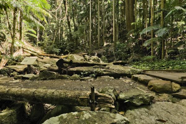
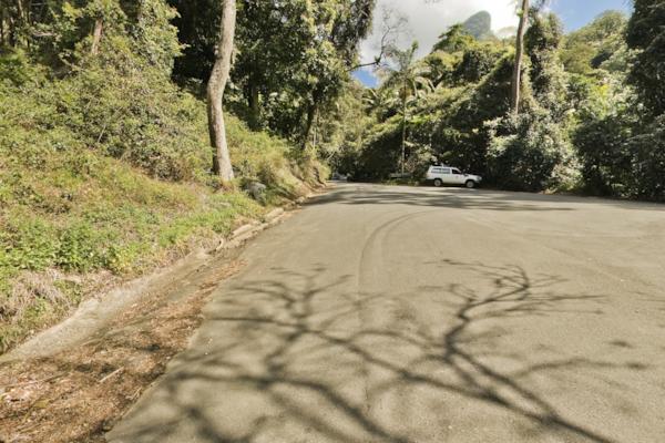
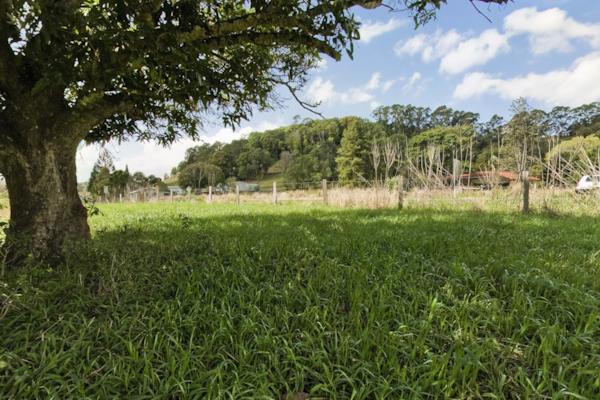
Lyrebird Walk 2
by Dean Herring taken on 9th September 2008
Lyrebird Walk, Mount Warning, New South Wales, Australia
Shot Details
- Photographer
Dean Herring - Date Shot
9th September, 2008 at 12:15pm - Camera Nikon D200
- Lens '10.5 mm
- Shutter Speed 1/6 sec
- Aperture f/8
- ISO 100
Location Details
- Latitude -28.39816700
- Longitude 153.28400000
- Altitude 433m / 1420ft
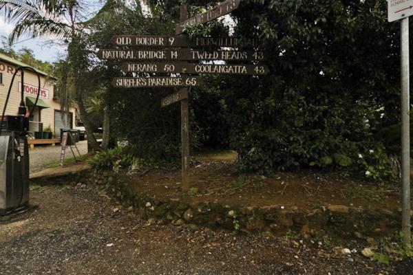
- Street 353 Mount Warning Road Rd
- Suburb Mount Warning
- State New South Wales
- Country Australia
- Postcode 2484
- Satellites 6
Other Details
- ID 6149
- Ranking 50/100
- Status Live
- Last updated 30th October, 2015 at 9:46am
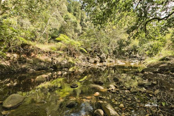
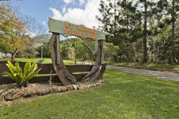
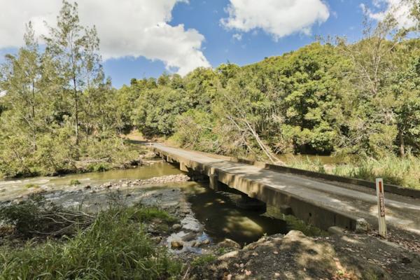
Nearby Locations
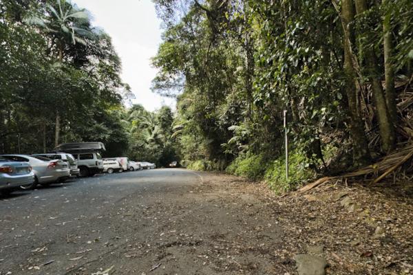
Lyrebird walk
Mt Warning Carpark 2
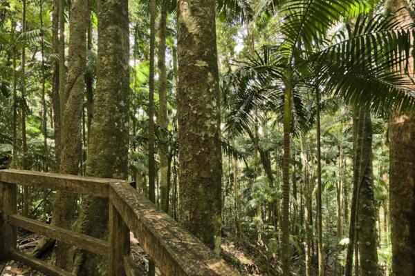
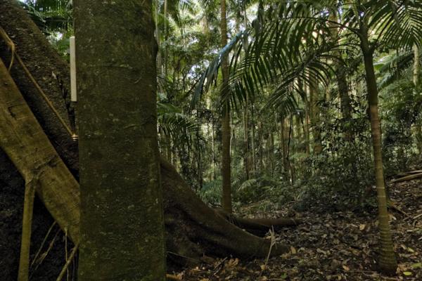
Lyrebird Walk 3
Lyrebird Walk 4
Mt Warning Carpark
Mount Warning Rd
Mt Warning Holiday Park
Mt Warning Rd
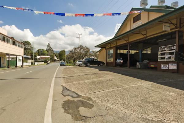
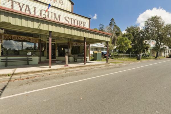
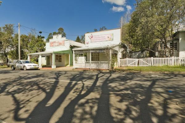
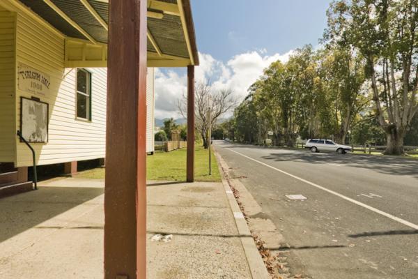
Coolman St, Tyalgum 4
Coolman St, Tyalgum 3
Coolman St, Tyalgum 2
Coolman St, Tyalgum
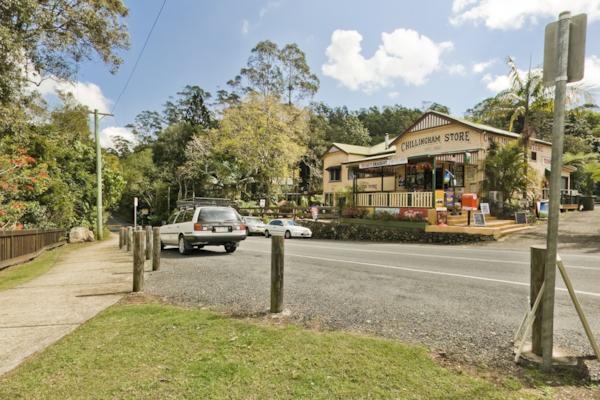
Chillingham 2
Chillingham
Zara Rd
Zara Rd 2
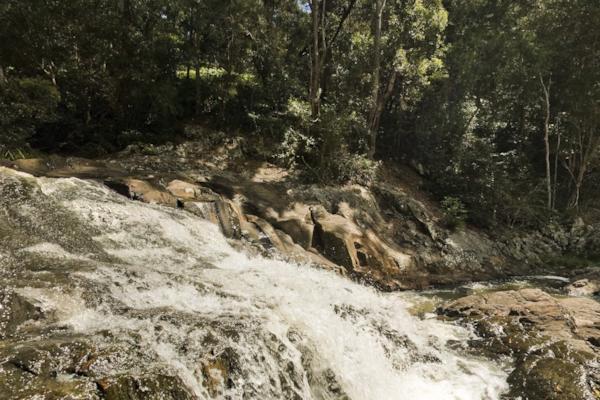
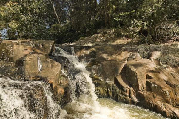
Crystal Creek 2
Morning Tea at Crystal Creek
Crystal Creek
Numinbah Rd

Popular Panoramas
Daydream Island
Moss Vale 2
The Cow, Queenstown
Geelong Lap Pool 0
Pitt St Mall 7
Tomakomai 0
Bathing Boxes 0
Kata Tjuta, Walpa Gorge 1
Mordialloc Pier 1
Mackay Marina 10
Forster
Kirra 0
Daydream Island
Brooklyn Bridge
Darling Harbour
Agnes Water
Olympic Park 32
Cairns Lagoon 0
Manly Beach Volleyball
Christ of the Abyss


