6150
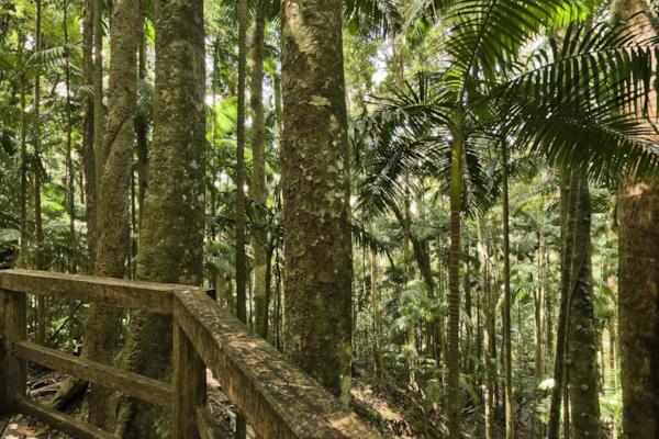
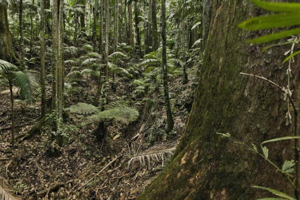
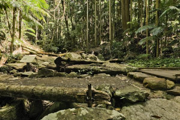
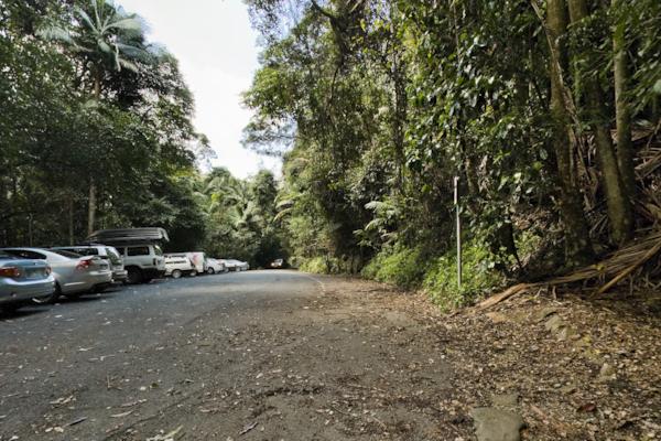
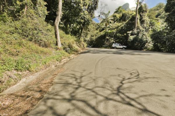
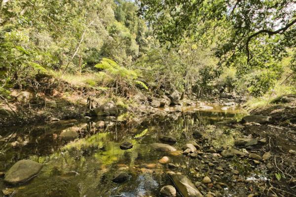
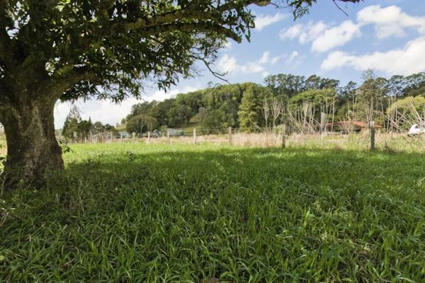
Lyrebird Walk 4
by Dean Herring taken on 9th September 2008
Lyrebird Walk, Mount Warning, New South Wales, Australia
Shot Details
- Photographer
Dean Herring - Date Shot
9th September, 2008 at 12:18pm - Camera Nikon D200
- Lens '10.5 mm
- Shutter Speed 1/6 sec
- Aperture f/8
- ISO 100
Location Details
- Latitude -28.39766700
- Longitude 153.28366700
- Altitude 433m / 1420ft
- Street 353 Mount Warning Road Rd
- Suburb Mount Warning
- State New South Wales
- Country Australia
- Postcode 2484
- Satellites 7
Other Details
- ID 6150
- Ranking 50/100
- Status Live
- Last updated 30th October, 2015 at 9:46am
Nearby Locations
Lyrebird Walk 3
Lyrebird Walk 2
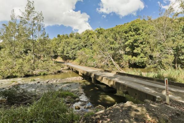
Lyrebird walk
Mt Warning Carpark 2
Mt Warning Carpark
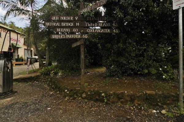
Mount Warning Rd
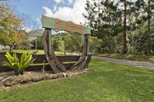
Mt Warning Holiday Park
Mt Warning Rd
Coolman St, Tyalgum 4
Coolman St, Tyalgum 3
Coolman St, Tyalgum 2
Coolman St, Tyalgum
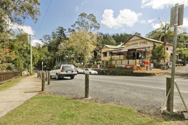
Chillingham 2
Chillingham
Zara Rd
Zara Rd 2
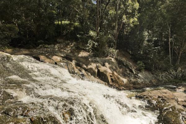
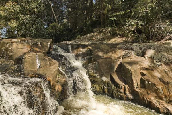
Crystal Creek 2
Morning Tea at Crystal Creek
Crystal Creek
Numinbah Rd
Popular Panoramas
44 Martin Place
Manly Beach 1
Werri Beach 2
F-111 Dump & Burn
Sydney Opera House 0
Malls Balls 1
Bargara Beach 0
Shark Bay 3
Darling Harbour
Horse Guards Parade 7
Telegraph Station 3
Victoria Quarter 2
Bondi Beach foreshore 3
Bargara Beach
Southport Channel 0
Daydream Island
237 North Tce
Bicheno water view
Luna Park 7
Kakadu - Anbangbang Gallery 19


