8327
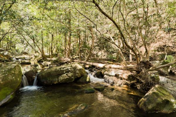
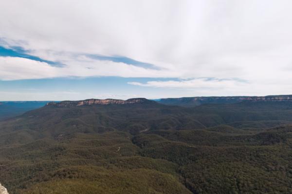
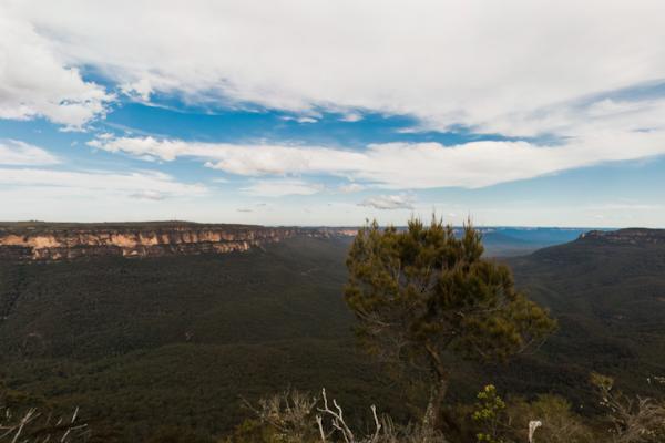
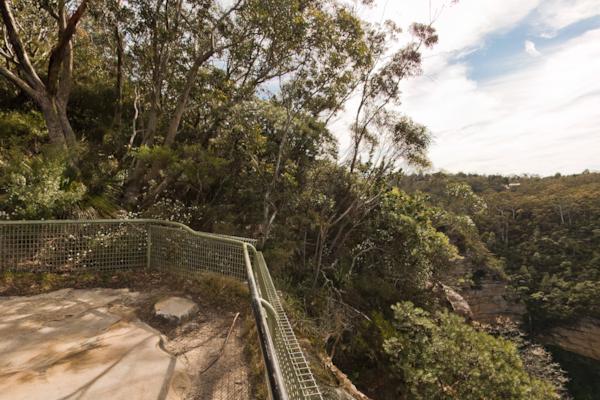
GBMWHE Jamison Creek
by Aaron Spence taken on 16th September 2010
GBMWHE Jamison Creek, Kings Tableland, New South Wales, Australia
Shot Details
- Photographer
Aaron Spence - Date Shot
16th September, 2010 at 12:54pm - Camera Nikon D700
- Lens '16.0 mm
- Shutter Speed 1/50 sec
- Aperture f/16
- ISO 200
Location Details
- Latitude -33.76483300
- Longitude 150.35166700
- Altitude 211m / 692ft
- Street Kedumba Valley Road
- Suburb Kings Tableland
- State New South Wales
- Country Australia
- Postcode 2782
- Satellites 6
Other Details
- ID 8327
- Ranking 42/100
- Status Pending
- Last updated 9th November, 2015 at 5:54pm
Nearby Locations
GBMWHE Jamison Creek
GBMWHE Jamison Valley
GBMWHE Kedumba Valley
GBMWHE Kedumba Valley
GBMWHE Kedumba Valley
GBMWHE Leura Creek
GBMWHE Kedumba Valley
GBMWHE Kedumba Valley Track
GBMWHE Kedumba Valley Track
GBMWHE Kedumba Valley Track
GBMWHE Kedumba Valley Track
GBMWHE Sublime Point
GBMWHE Sublime Point
GBMWHE Kedumba Homestead
GBMWHE Kedumba Homestead
GBMWHE Kedumba Homestead
GBMWHE Kedumba Homestead
GBMWHE Kedumba Valley
GBMWHE Kedumba Valley
GBMWHE Elysian Rock
Popular Panoramas
Great Ocean Road 1
Bathing Boxes 0
Shibuya Station 6
Harbour Lights 3
Pitt & Park St
Shark Bay 3
The Cow, Queenstown
Hollyford River - Milford Sound Hwy 0
The Cow, Queenstown
Qantas Founders Museum 0
The Cow, Queenstown
Hollyford River - Milford Sound Hwy
Hill Inlet Lookout 0
Moss Vale 2
Agnes Waters
Palmela 2011 0
Sydney Harbour Bridge 11
Anzac Hill, Alice Springs
Cow Up A Tree 1
Hamilton Island


