8328
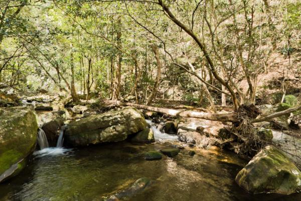
GBMWHE Jamison Creek
by Aaron Spence taken on 16th September 2010
GBMWHE Jamison Creek, Kings Tableland, New South Wales, Australia
Shot Details
- Photographer
Aaron Spence - Date Shot
16th September, 2010 at 1:01pm - Camera Nikon D700
- Lens '16.0 mm
- Shutter Speed 1/400 sec
- Aperture f/8
- ISO 200
Location Details
- Latitude -33.76483300
- Longitude 150.35200000
- Altitude 216m / 708ft
- Street Kedumba Valley Road
- Suburb Kings Tableland
- State New South Wales
- Country Australia
- Postcode 2782
- Satellites 7
Other Details
- ID 8328
- Ranking 42/100
- Status Pending
- Last updated 9th November, 2015 at 5:54pm
Nearby Locations
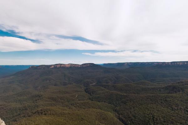
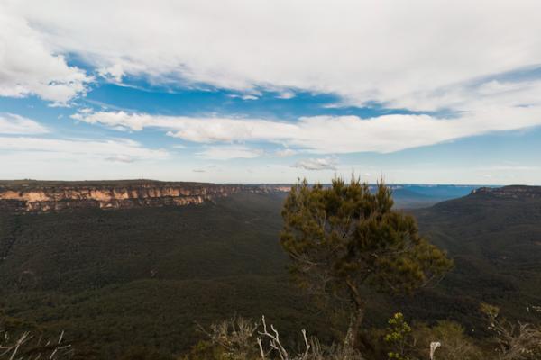
GBMWHE Jamison Creek
GBMWHE Jamison Valley
GBMWHE Kedumba Valley
GBMWHE Kedumba Valley
GBMWHE Kedumba Valley
GBMWHE Leura Creek
GBMWHE Kedumba Valley
GBMWHE Kedumba Valley Track
GBMWHE Kedumba Valley Track
GBMWHE Kedumba Valley Track
GBMWHE Kedumba Valley Track
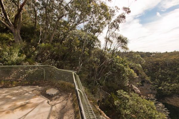
GBMWHE Sublime Point
GBMWHE Sublime Point
GBMWHE Kedumba Homestead
GBMWHE Kedumba Homestead
GBMWHE Kedumba Homestead
GBMWHE Kedumba Homestead
GBMWHE Kedumba Valley
GBMWHE Kedumba Valley
GBMWHE Elysian Rock


Popular Panoramas
Piha Beach 0
Gold Coast City Marina
Cairns Foreshore 40
Kings Canyon Lost City
Tropicana Las Vegas
Lady Musgrave Island
Byron Bay Point 7
Kokoda Trail
PNG
Wilson Island
Hayman Island
Yeppoon
Olympic Park 32
Shibuya Station 2
Parliament House 6
Sth East Cnr
Mackay Marina 10
New York 0
Bathing Boxes 0
Bondi Beach foreshore 3


